|
|

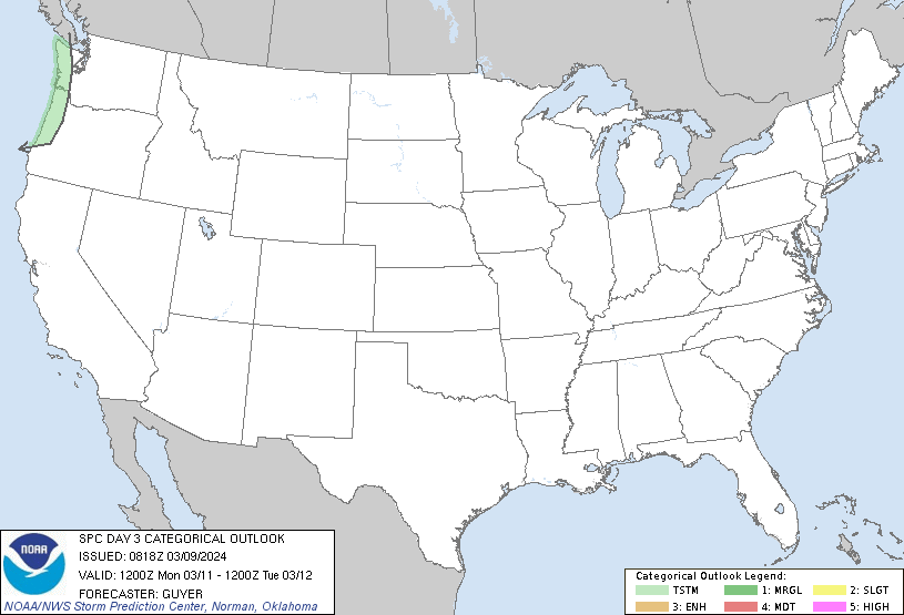
Categorical Day3 0830Z Outlook
|
|

Probability of severe weather within 25 miles of a point.
Hatched Area: 10% or greater probability of significant severe weather within 25 miles of a point.
|
|
|
Images courtesy of the NWS Storm Prediction Center
000
ACUS03 KWNS 230731
SWODY3
SPC AC 230730

Day 3 Convective Outlook
NWS Storm Prediction Center Norman OK
0230 AM CDT Tue Apr 23 2024

Valid 251200Z - 261200Z

...THERE IS A SLIGHT RISK OF SEVERE THUNDERSTORMS FOR PARTS OF THE
SOUTHERN AND CENTRAL GREAT PLAINS...

...SUMMARY...
Severe thunderstorms may develop late Thursday afternoon into
Thursday night across parts of the central and southern Great
Plains. Large hail, severe wind gusts, and a few tornadoes will all
be possible.

...Synopsis...
A shortwave trough initially over the Southwest is forecast to take
on an increasingly negative tilt as it moves eastward towards the
central/southern Plains by Thursday night into Friday morning. In
response, a surface low will consolidate and deepen across the
central High Plains through the day, before moving northeastward
toward northwest KS/southwest NE by Friday morning. An initially
stationary surface boundary will move northward as a warm front
across the central Plains through the day. Along/south of the warm
front, relatively rich low-level moisture will stream northward to
the east of a dryline that will become established from the eastern
TX Panhandle into western KS and eastern CO.

...Southern/central Great Plains...
Coverage of the severe-thunderstorm threat remains somewhat
uncertain, but a couple intense supercells are possible by Thursday
evening near the dryline from western KS into western OK and the
TX/OK Panhandles. Another round of overnight convection will
potentially bring the severe threat eastward into a larger portion
of the central/southern Plains.

The warm sector of the deepening cyclone will likely remain capped
for much of the day, though elevated convection may persist from
parts of central/eastern KS into eastern OK, to the north of the
effective warm front. Increasing moisture beneath steep midlevel
lapse rates will support MLCAPE in excess of 2000 J/kg along/east of
the dryline, as deep-layer shear strengthens across the region
through the day.

Ascent attendant to the approaching shortwave trough will begin to
impinge upon the warm sector by late afternoon, with isolated
supercell development possible near the surface low across southwest
KS and southward down the dryline into the TX Panhandle. Very large
hail (potentially 2-3 inches in diameter) will likely be the primary
initial hazard. A notable increase in low-level flow/shear near and
after 00Z will also support a tornado threat with any supercells
that can persist into the evening across parts of western KS/OK.

While any initial dryline storms may weaken by mid/late evening due
to increasing MLCINH with eastward extent, renewed storm development
is possible overnight along the Pacific cold front from southwest TX
into western/central KS/OK as stronger large-scale ascent
overspreads the region. Steep midlevel lapse rates, moderate
buoyancy, and strong low-level and deep-layer shear will
conditionally support a severe threat with overnight convection
across the warm sector, though storm mode may become complex and
tend toward a linear evolution with time. Severe wind gusts may
become an increasing threat with the nocturnal convection, though
hail and a couple tornadoes will also be possible if semi-discrete
or embedded supercells can be maintained.

...NE/WY border region into northeast CO...
Low-level southeasterly flow will support modest moisture return
into parts of northeast CO, southeast WY, and western NE, to the
north of the deepening cyclone. Thunderstorm development will be
possible near and to the cool side of the effective warm front
during the afternoon. While deep-layer shear will be weaker compared
to areas farther southeast, steep midlevel lapse rates will support
an isolated hail threat. A tornado also cannot be ruled out, if
surface-based storms can be maintained within this regime.

..Dean.. 04/23/2024

$$
