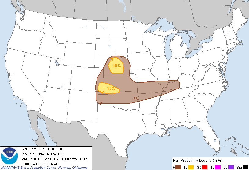
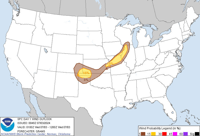
Day 1 Outlook Day 2 Outlook Day 3 Outlook Days 4-8 Outlook

Day 1 Outlook Convective Tornado
Hail Wind
Categorical Day1 1200Z Outlook
  
Images courtesy of the NWS Storm Prediction Center
 Forecast Discussion

  
000
ACUS01 KWNS 270754
SWODY1
SPC AC 270753

Day 1 Convective Outlook CORR 1
NWS Storm Prediction Center Norman OK
0253 AM CDT Sat Apr 27 2024

Valid 271200Z - 281200Z

...THERE IS A MODERATE RISK OF SEVERE THUNDERSTORMS ACROSS PARTS OF
NORTH TEXAS...OKLAHOMA...SOUTHEAST KANSAS AND FAR SOUTHWEST
MISSOURI...

CORRECTED FOR GEOGRAPHIC REFERENCE IN MISSOURI

...SUMMARY...
Numerous severe thunderstorms are likely today and tonight across
the southern and central Plains into the lower to mid Missouri
Valley. The greatest potential for severe storms will be from north
Texas into Oklahoma and southeast Kansas, where strong tornadoes,
very large hail over 2 inches in diameter and widespread damaging
winds (some over 70 mph), are expected to occur. A broader area of
severe threat will extend from south-central Texas
north-northeastward to the Great Lakes.

...Tornado Outbreak Expected Today From North Texas into
Oklahoma...Southeast Kansas and Far Southwest Missouri...

...Southern Plains...
An upper-level trough will move through the Desert Southwest today
as an 80 to 90 knot mid-level jet translates quickly eastward
through the base of the system. Ahead of the trough, a moist and
unstable airmass will be in place across much of the southern and
central Plains. At the surface, a low will move eastward across
southwest Kansas with a dryline extending southward through far
western Oklahoma and west Texas. Surface dewpoints to the east of
the dryline will be in the mid to upper 60s F. In response to warm
advection this morning, a cluster of thunderstorms is expected to
develop to the east of the dryline across northwest Texas. This
cluster is forecast to spread north-northeastward into western
Oklahoma by late morning. Large hail and wind damage will be likely
with the stronger cells within this cluster. An outflow boundary
with this convection should setup across west-central Oklahoma by
early afternoon, with a moist and unstable airmass extending
eastward from the boundary across much of central and eastern
Oklahoma northward into southeast Kansas. This undisturbed airmass
is expected to be favored for the greatest severe threat this
afternoon and evening.

The mid-level jet is forecast to eject quickly northeastward across
the southern Plains this afternoon. This will result in strong
deep-layer shear across most of the southern Plains, and will create
a large-scale mass response that will be very favorable for severe
storms, including supercells and bowing line segments. As the core
of the mid-level jet moves into the southern Plains during the mid
to late afternoon, a 50 to 60 knot low-level jet will rapidly
strengthen. RAP forecast sounding along and near the low-level jet
during the late afternoon look very favorable for tornadoes, with
backed surface flow, and long looping hodographs. As the low-level
jet strengthens, 0-3 km storm-relative helicity is forecast to
increase to around 400 m2/s2 across much of central and eastern
Oklahoma into southwest Missouri. The more dominant and supercells
that interact with the western and northern edge of the low-level
jet are expected to become tornadic. Several strong tornadoes will
be likely, and a few long-track EF3+ tornadoes will be possible.

In addition to the tornado threat, forecast soundings have 700-500
mb lapse rates near 8 C/km across much of the warm sector this
afternoon from north Texas to southeast Kansas. This will be
favorable for very large hail, with hailstones over 2 inches in
diameter likely with the more intense storms. Later in the evening,
a line of severe storms is expected to form, moving eastward across
eastern Oklahoma and north Texas. Wind gusts over 70 mph will be
possible with the more intense parts of the line. QLCS tornadoes
will also be possible with rotating cells embedded in the line late
this evening into the overnight period.

...Central Plains/Lower to Mid Missouri Valley...
An upper-level low will move through the southern Rockies today, as
the exit region of a mid-level jet overspreads the central Plains.
At the surface, a warm front will be located from near a surface low
in southwest Kansas east-northeastward into the mid Missouri Valley.
This front will be a focus for convective development this
afternoon. A band of severe storms is expected to form near the
front and move northward across northern Kansas into southern
Nebraska during the early to mid afternoon. RAP forecast soundings
in northeast Kansas near the front from 18Z to 21Z have MLCAPE near
3000 J/kg, 0-6 km shear around 60 knots, and steep low to mid-level
lapse rates. This environment will be very favorable for supercells
with large hail. Hailstones greater than 2 inches in diameter will
be possible with the more intense storms. In addition, forecast
soundings have 0-3 km storm-relative helicity in the 250 to 300
m2/s2 range, suggesting that tornadoes will be likely with the more
discrete supercells. A few strong tornadoes will be possible.

Further west into northwest Kansas and eastern Colorado, cold
temperatures aloft, strong large-scale ascent associated with an
upper-level low, and strong deep-layer shear will likely support
lower-topped supercells with large hail and strong wind gusts this
afternoon.

...Mid to Upper Mississippi Valley/Great Lakes...
An upper-level trough will move northeastward across the Great Lakes
region today. From near the trough, and southwestward into the mid
to upper Mississippi Valley, a wide corridor of moderate instability
will be in place by afternoon. A warm front will be in located along
the northern edge of the instability, from Iowa northeastward into
south-central Wisconsin and north-central lower Michigan. As surface
heating takes place and low-level convergence increases along the
front, thunderstorms will likely form in the vicinity of the
boundary. Forecast soundings near the front at 21Z have MLCAPE
around 3000 J/kg, along with 40 knots of deep-layer shear. This
should support supercells with potential for large hail and wind
damage. The severe threat should be greatest during the late
afternoon and early evening.

..Broyles/Thornton.. 04/27/2024

$$